Description
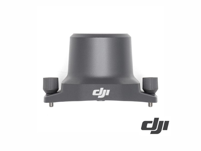
DJI RTK module for Mavic 3 Enterprise
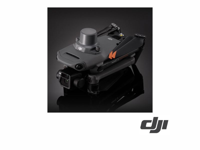
The DJI RTK module for the Mavic 3 Enterprise attaches to the top of the drone and provides real-time centimeter-level positioning, which is essential for flights intended for mapping, surveying, or data collection that must later be georeferenced.
With RTK correction enabled, positioning accuracy is 1 cm + 1 ppm horizontally and 1.5 cm + 1 ppm vertically. It weighs 24 g and consumes 1.2 W, so its impact on flight time is minimal. It also enables GLONASS reception on the drone.
Main features
- Fixed RTK accuracy: 1 cm + 1 ppm horizontally and 1.5 cm + 1 ppm vertically.
- It weighs only 24 ± 2 g and consumes 1.2 W.
- USB-C port on the top of the drone.
- Enable GLONASS in addition to GPS, Galileo, and BeiDou.
- Improves hover accuracy to ±0.1 m horizontally and vertically.
Common applications
- Mapping and Photogrammetry with Centimeter-Level Accuracy
- Surveying and Georeferenced Surveys
- Infrastructure Inspection with Repeatable Checkpoints
- Automatic missions with reproducible trajectories
Compatibility
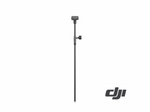
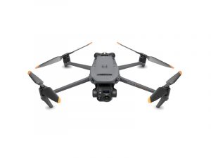
For drones in the DJI Mavic 3 Enterprise series (Mavic 3E, 3T, and 3TA). Works with the Network RTK service, custom Network RTK, or the DJI D-RTK 2 mobile station.
REF: DJ1490