Description
DJI D-RTK 3 Multifunction Station
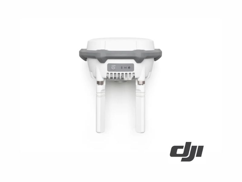
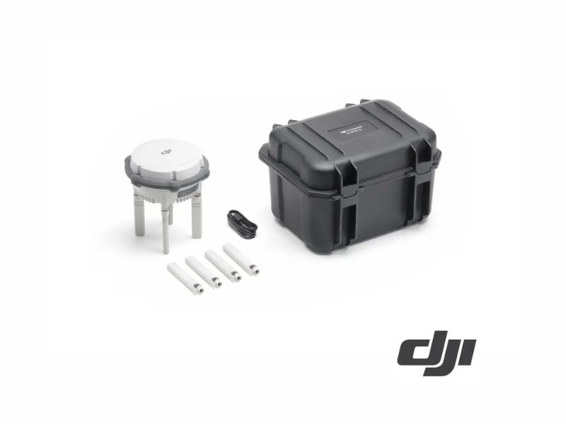
The DJI D-RTK 3 multifunction station integrates high-performance antennas and a multi-frequency GNSS receiver that tracks major constellations. It operates in three modes: as a base station, providing centimeter-level positioning to multiple drones simultaneously; as a relay station, extending the range of the drone or the DJI Dock; and as a mobile station for topographic surveys in conjunction with DJI Enterprise and DJI Terra.
In mobile mode, it achieves 0.8 cm + 1 ppm horizontally and 1.5 cm + 1 ppm vertically, and includes tilted measurements up to 60° thanks to its IMU. It has an IP67 rating, withstands drops from 2 m with the mast, and its internal 6500 mAh battery provides up to 10 hours of operation in mobile mode.
Main features
- Three modes: base station, repeater, and mobile station.
- Multifrequency GNSS: GPS, BeiDou, Galileo, GLONASS, QZSS, and L-band.
- RTK accuracy in mobile mode: 0.8 cm + 1 ppm horizontally and 1.5 cm + 1 ppm vertically.
- Measures angles from 0° to 60°, with an error of less than 2 cm up to 30°.
- O4 Enterprise Transmission: Up to 20 km in CE with the Matrice 400 in base mode.
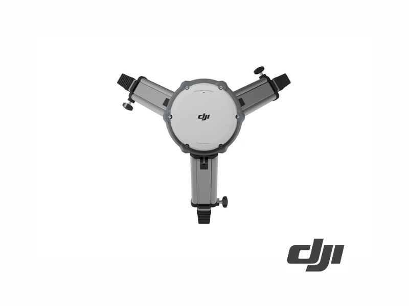
- IP67 protection and 2-meter drop resistance with a mast.
- 6500 mAh internal battery: 10 hours as a mobile device, 7 hours as a base station, and 4 hours as a repeater.
Common applications
- RTK base station for drone mapping and photogrammetry
- Repeater to extend range in areas with obstacles
- Mobile Surveying of Control Points
- Operating the DJI Dock in Areas Without Service
Compatibility
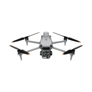
For DJI Enterprise drones compatible with D-RTK 3, such as the Matrice 4 series and the Matrice 400, and for the DJI Dock in repeater mode. Exact compatibility depends on the model and firmware version; please check the manual before purchasing.
REF: DJ3766